Getting Around Maui

At a Glance
Most popular on Maui
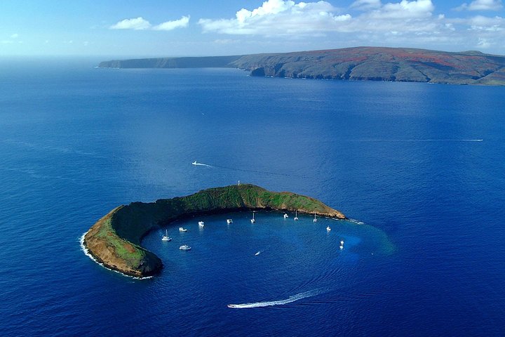 Central Maui
Maui Snorkeling Adventure to Molokini and Turtle Town
Visit Maui's famous snorkeling and diving destinations Molokini Crater and Turtle Town on a snorkeling catamaran, with visibility of 100 feet or more.
 South Maui
Feast at Mokapu Luau in Wailea
Discover Hawai'i's most authentic luxury luau at Andaz Maui at Wailea Resort — a curated cultural evening with a three-course plated dinner on Mokapu beach.
 South Maui
Gilligans' Island Luau in Kihei
An intimate luau experience and the only luau in Kihei — less than a quarter the size of the average Maui luau, so every seat has a great view of the show.
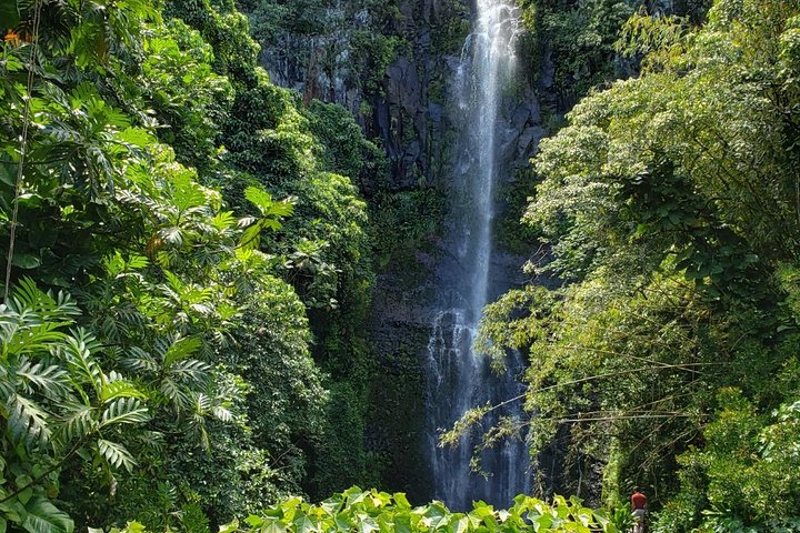 Road to Hāna
Small-Group Road to Hana Adventure Tour with Pickup & Lunch
Watch the waterfalls, black-sand beaches and rainforest go by without anyone in your group behind the wheel.
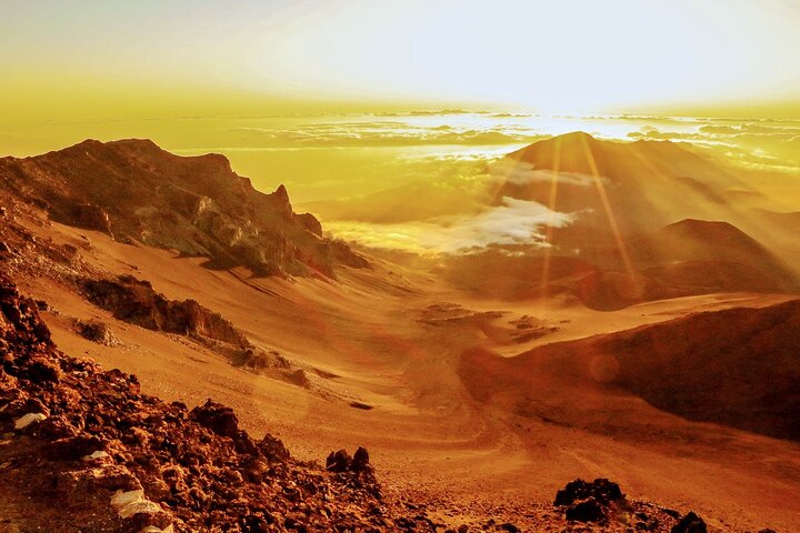 Upcountry
Majestic Haleakalā Sunrise Tour with Pick-up
Ride to the summit for sunrise above the clouds, then unwind over a hot breakfast on the way back down.
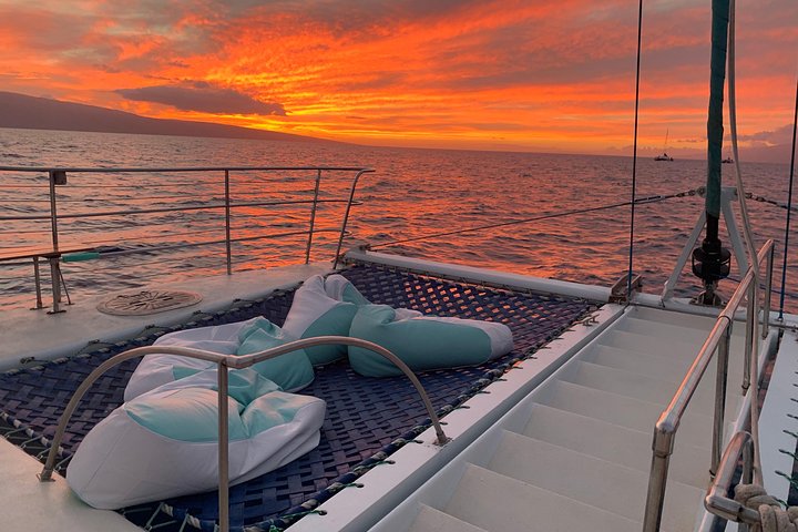 West Maui
Original Sunset Cruise with Open Bar from Kaʻanapali
Sip an unlimited open bar while the sun drops behind Lānaʻi, with pupus and live music twice a week.
 Central Maui
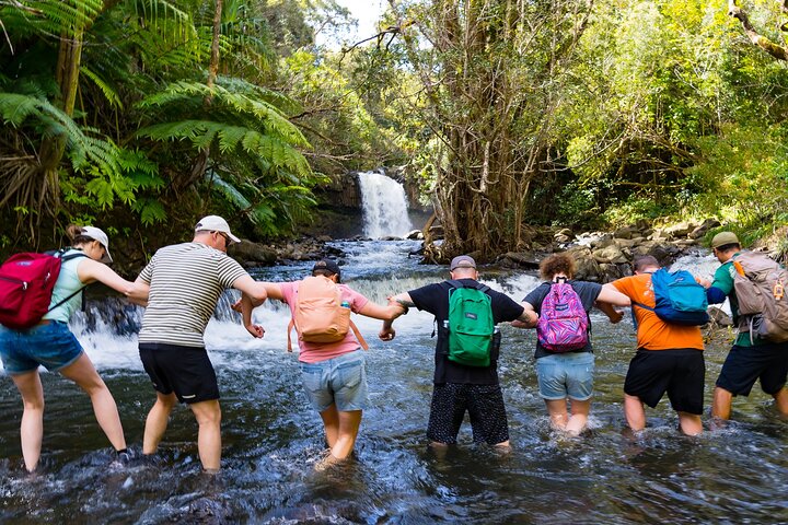
Small Group Waterfall and Rainforest Hiking Adventure
A guided rainforest hike to East Maui waterfalls, with time to swim beneath the falls and a trail lunch included.
 South Maui
Two Hour Beginner Group Surf Lesson in Kihei
A two-hour beginner lesson in calm South Maui water — board, gear and instruction all included.
 Upcountry
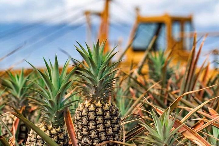
Maui Pineapple Farm Tour in Haliimaile
Tour a working pineapple farm and packing house upcountry, with tastings and a fresh pineapple to take home.
Driving
Maui looks small on a map and does not behave like it. Plan on the clock, not the mileage.
- What to expect — Main visitor routes are straightforward; the Hāna Highway and parts of West Maui need patience.
- How locals talk — Directions come as mauka and makai, not left and right.
- The tradeoff — The scenic roads are the slow roads, and that is the point of them.
- The risk — Stacking three regions into one day because they looked close together.
Plan each day around one region. Two is a stretch and three is how a day disappears.
Mauka, Makai and Mile Markers
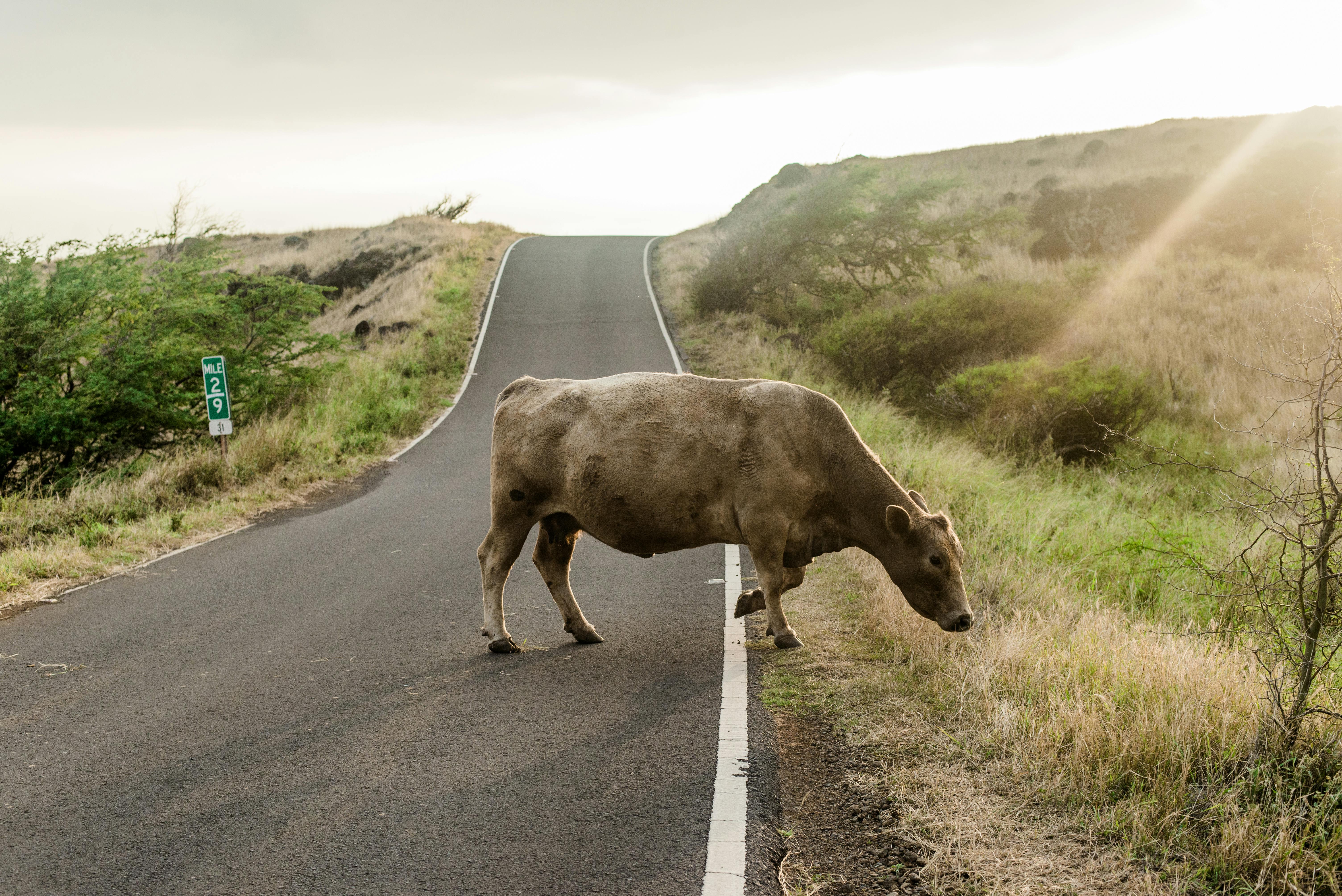
Mauka means the mountain side and makai means the ocean side, and that is how a local will give you directions. On rural routes people navigate by mile marker rather than by street address, so a stop described as being near mile marker 17 is a real instruction and not an approximation.
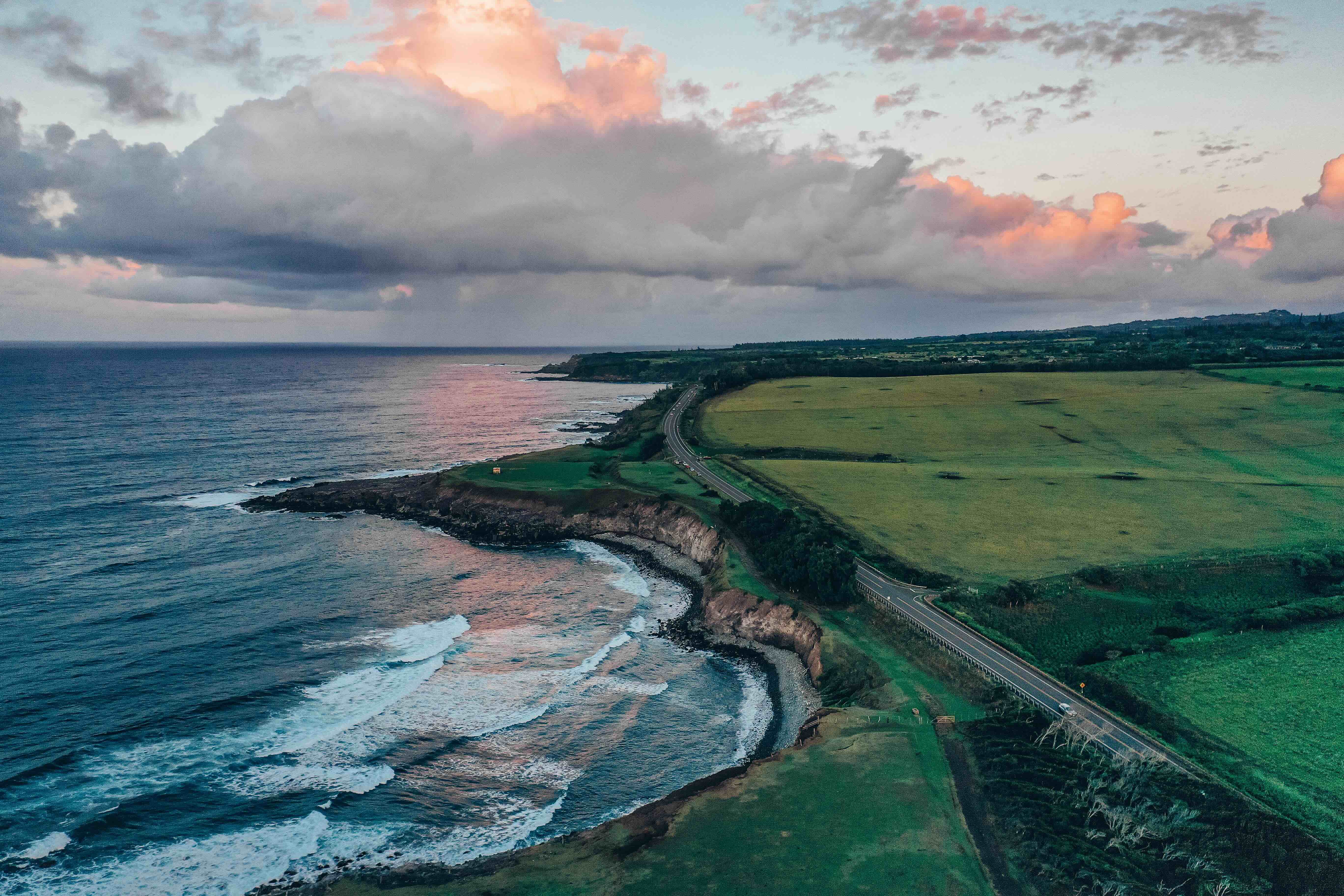
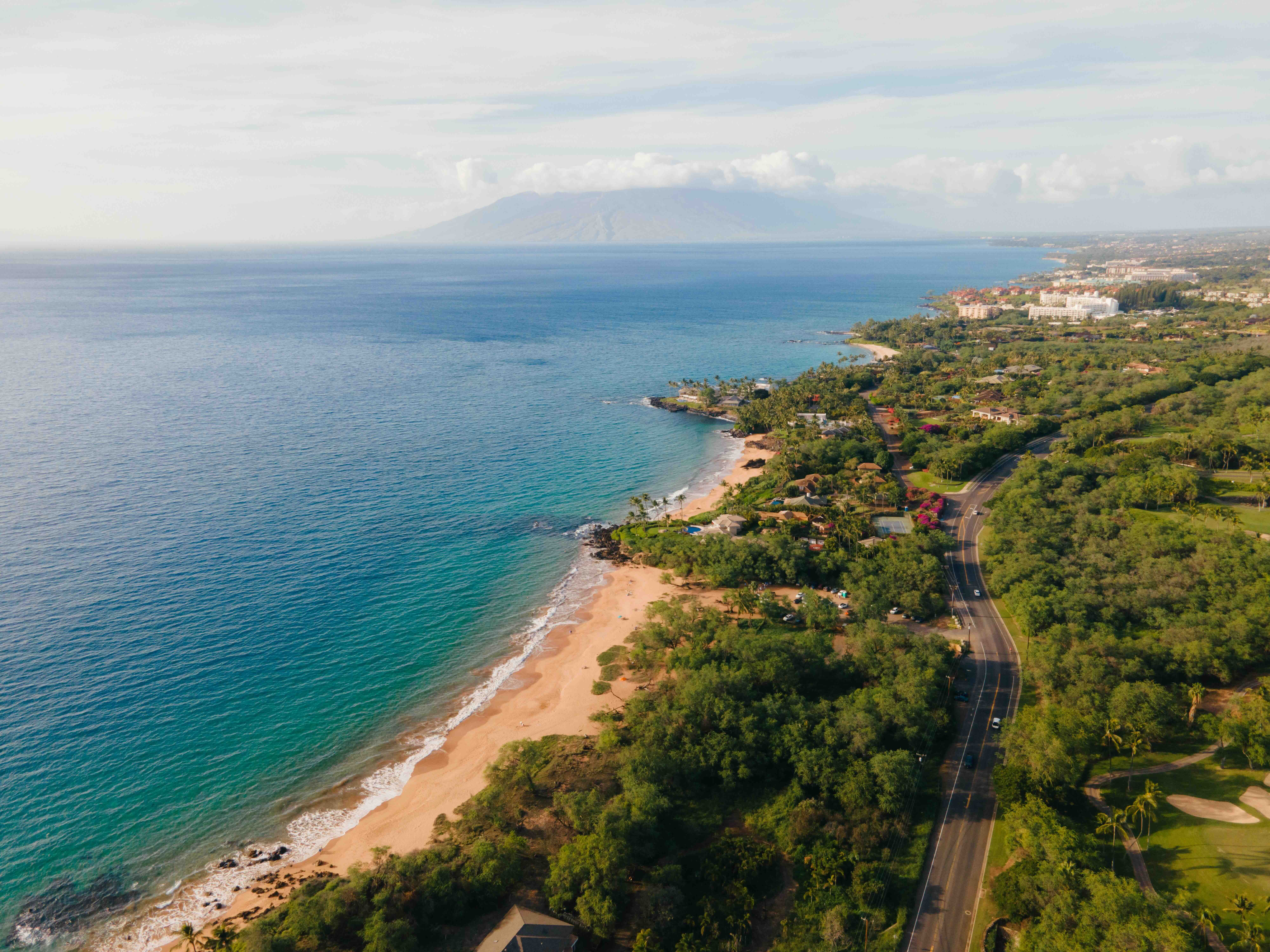
North Shore coast road. Photo: Hawaii Tourism Authority (HTA)
How Long Things Actually Take
Use ranges, not map times. The range is the honest number.
Within South Maui
Kīhei to Wailea is about 15–25 minutes, and central Kīhei to Wailea specifically runs 15–20 in light traffic and 20–30 around dinner. South Maui to Māʻalaea is about 20–35.
Across to West Maui
South Maui to West Maui is roughly 45–75. Kāʻanapali to Kapalua is about 15–25. Coming back from Maui Ocean Center in the afternoon, allow 25–40 minutes to Wailea and 35–60 or more to Kāʻanapali — westbound congestion moves that second number quickly.
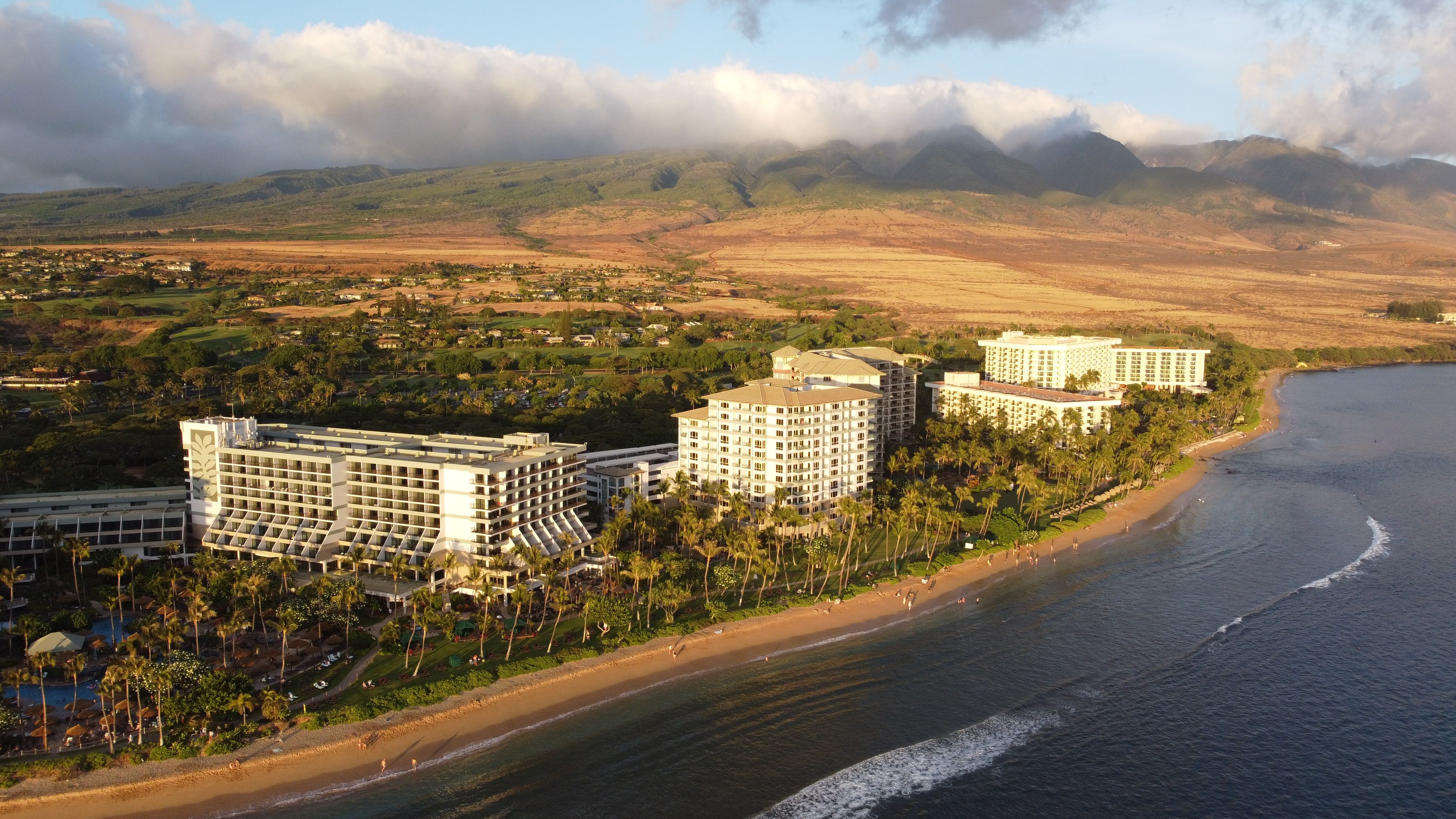
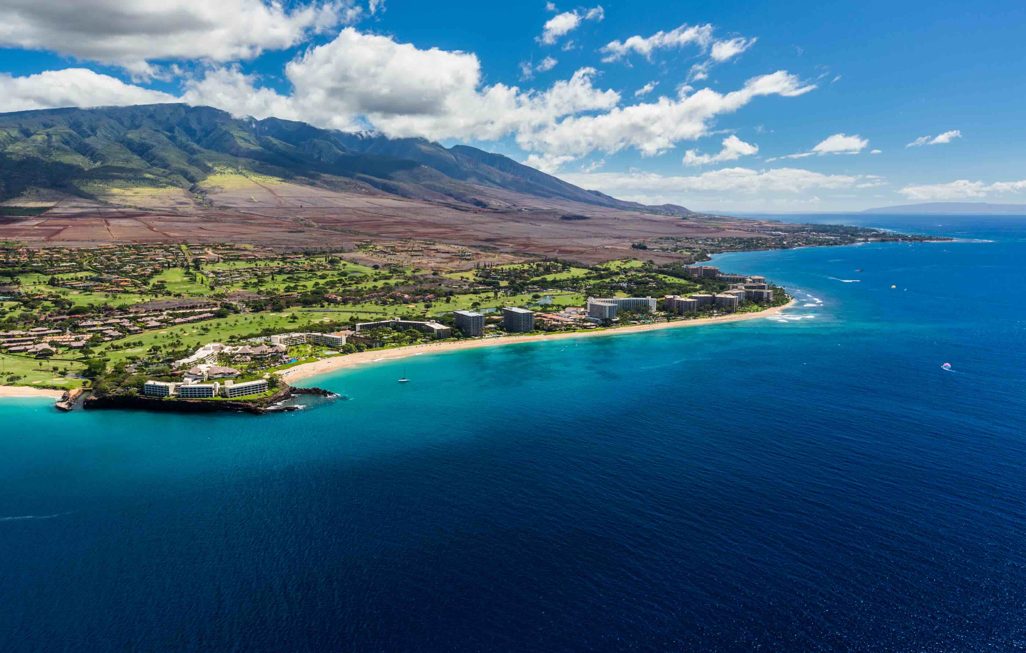
Kāʻanapali, West Maui. Photo: Hawaii Tourism Authority (HTA)
Upcountry
Kīhei to Makawao is roughly 35–50 and Kīhei to Kula 45–60, with Kula to Ulupalakua another 30–40 without stops.
Traffic Windows That Actually Matter
Two windows do most of the damage, and both are avoidable if you know them.
Piʻilani Highway Through Kīhei
Southbound Piʻilani Highway backs up on weekdays around the morning commute and school drop-off, roughly 7:15–8:30 a.m., and again from school release into the afternoon commute, roughly 2:30–4:30 p.m. The area around the Kūlanihākoʻi High School roundabout is where it bites. South Kīhei Road is the alternative during those windows; outside them the drive is usually easy unless there is an accident or construction.
Hāna Highway Into Pāʻia
On the other side of the island, Hāna Highway slows approaching Pāʻia in the afternoon, particularly on weekdays. Roughly 3–6 p.m. is the window to plan around, as traffic funnels through town and the Baldwin Avenue intersection.
Parking
Pāʻia at lunchtime is the one to budget for.
Allow 10–20 minutes to find a legal space and walk, and longer on weekends or strong visitor days. Do not build an itinerary around finding a spot directly in front of the restaurant.
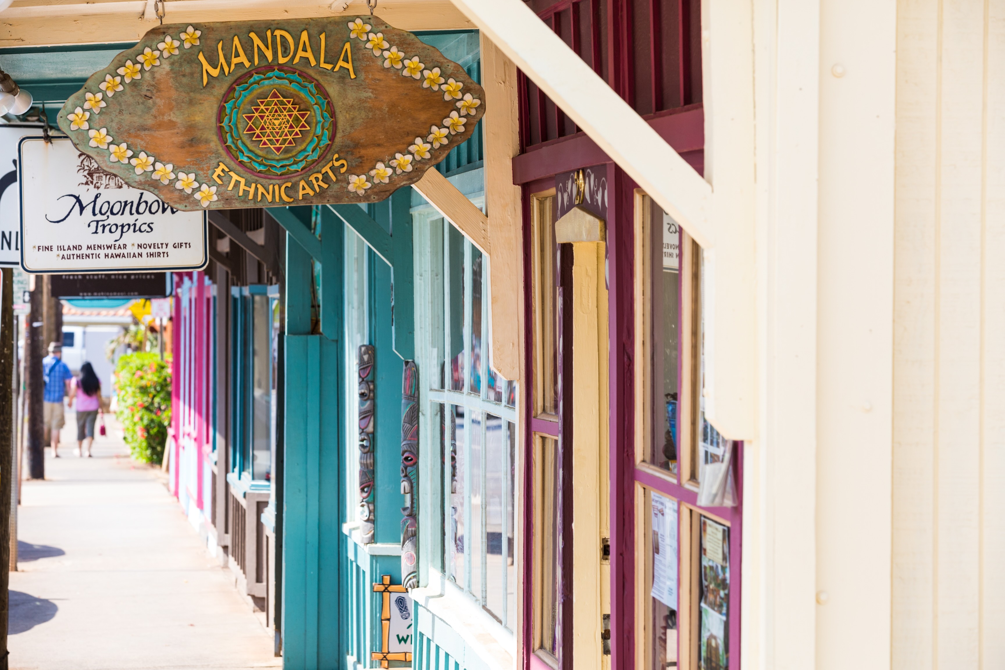
Pāʻia, North Shore. Photo: Hawaii Tourism Authority (HTA)
Car-Free Resort Areas
Two stretches of coast are genuinely walkable end to end.
The Wailea Beach Path links the resort beaches and restaurants on a paved coastal route. The Kāʻanapali beach walk does the same on the west side, with a local trolley on top of it. These are the two places to deliberately leave the car parked for a day.
Rideshare
Good for a dinner or an airport run, unreliable as a plan.
Uber, Lyft and the local Holoholo app all operate here, and they are the right answer for a one-way airport trip or a night when nobody wants to drive. Availability thins out late and in the more remote parts of the island, so do not build a remote hiking day around a guaranteed ride back.
The Bus
Real, cheap, and built for residents getting to work rather than visitors getting to beaches.
The County of Maui runs the Maui Bus fixed-route system. The general one-way fare is $2.00 on all routes, a day pass is $4.00 and a monthly pass with priority boarding is $45.00. Rides are free for passengers 55 and over, students under 25, children 5 and under travelling with a paying passenger, Medicare cardholders and holders of an ADA paratransit or physician-certified disability card — categories that will not cover most visitors.
Twelve fixed routes run islandwide. The ones a visitor is most likely to meet are the Kihei Islander #10, Kihei Villager #15, Lahaina Villager #23, West Maui Express #29, Kula Islander #39, Upcountry Islander #40 and Haiku Islander #35, and the County notes that the Upcountry and Haiku Islander routes stop at Kahului Airport. Separate commuter routes — Haiku-Wailea, Makawao-Kapalua, Wailuku-Kapalua and Kihei-Kapalua — are designed for early morning and evening commuters.
Check the current schedule before you rely on it. We are not quoting frequencies or operating hours because the County pages we read do not publish them in one place.
Getting to the Airport
Build the buffer into the drive, not into your nerves.
For the flight home, add about 30 minutes beyond the normal drive from Wailea and 45–60 from West Maui, on top of whatever the airline asks for. One road incident erases a tight plan, and there is usually only one road.
Practical Tips
Allow extra time through Kīhei, the West Maui corridor and Kahului at busy hours. The delay is always at the same three places.
Do not rely on cell service on the Hāna Highway. Download the map before you leave the last town.
Use rideshare for dinner after a long day. A tired driver on a dark rural road is the worst part of any Maui itinerary.
Plan each day around one region. Two regions is a stretch and three is how a day disappears.
Leave South Kīhei Road as your fallback in the commute windows. It is slower per mile and faster overall when Piʻilani is stacked.
Frequently Asked Questions
How long does it take to drive from South Maui to West Maui?
Roughly 45–75 minutes, and the top of that range is normal in the afternoon. Westbound congestion moves the number more than distance does.
When does traffic back up on Piʻilani Highway in Kīhei?
Roughly 7:15–8:30 a.m. and 2:30–4:30 p.m. on weekdays, worst around the Kūlanihākoʻi High School roundabout. South Kīhei Road is the alternative in those windows.
Is parking difficult in Pāʻia?
Yes, at lunchtime especially. Allow 10–20 minutes to find a legal space and walk, and longer at weekends.
How much does the Maui Bus cost?
The general one-way fixed-route fare is $2.00, a day pass is $4.00 and a monthly pass with priority boarding is $45.00, per the County of Maui.
Which parts of Maui can you get around without a car?
Wailea and Kāʻanapali. The Wailea Beach Path and the Kāʻanapali beach walk both link beaches, resorts and restaurants on foot.
How much time should I leave for the drive to Kahului Airport?
About 30 minutes beyond the normal drive from Wailea and 45–60 from West Maui, on top of what the airline asks.