Best Things to Do in Mākena

At a Glance
Most popular on Maui
 Central Maui
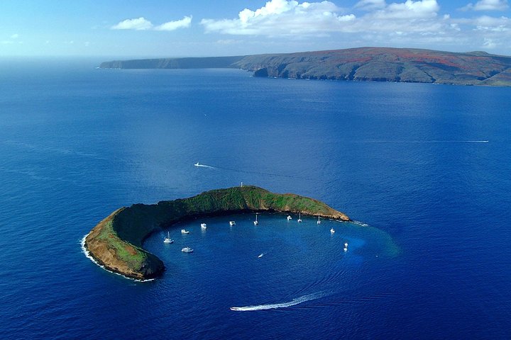
Maui Snorkeling Adventure to Molokini and Turtle Town
Visit Maui's famous snorkeling and diving destinations Molokini Crater and Turtle Town on a snorkeling catamaran, with visibility of 100 feet or more.
 South Maui
Feast at Mokapu Luau in Wailea
Discover Hawai'i's most authentic luxury luau at Andaz Maui at Wailea Resort — a curated cultural evening with a three-course plated dinner on Mokapu beach.
 South Maui
Gilligans' Island Luau in Kihei
An intimate luau experience and the only luau in Kihei — less than a quarter the size of the average Maui luau, so every seat has a great view of the show.
 Road to Hāna
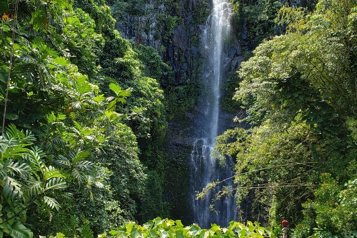
Small-Group Road to Hana Adventure Tour with Pickup & Lunch
Watch the waterfalls, black-sand beaches and rainforest go by without anyone in your group behind the wheel.
 Upcountry
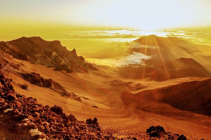
Majestic Haleakalā Sunrise Tour with Pick-up
Ride to the summit for sunrise above the clouds, then unwind over a hot breakfast on the way back down.
 West Maui
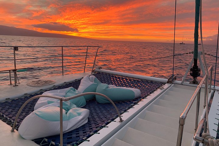
Original Sunset Cruise with Open Bar from Kaʻanapali
Sip an unlimited open bar while the sun drops behind Lānaʻi, with pupus and live music twice a week.
 Central Maui
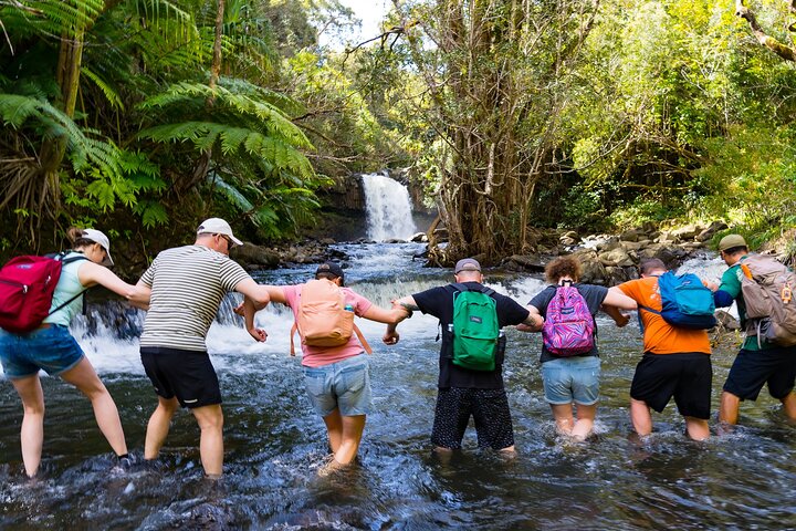
Small Group Waterfall and Rainforest Hiking Adventure
A guided rainforest hike to East Maui waterfalls, with time to swim beneath the falls and a trail lunch included.
 South Maui
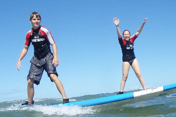
Two Hour Beginner Group Surf Lesson in Kihei
A two-hour beginner lesson in calm South Maui water — board, gear and instruction all included.
 Upcountry
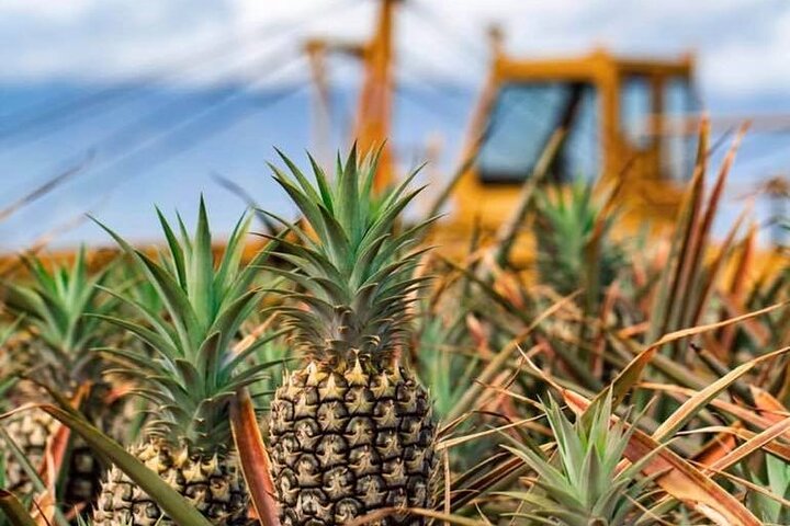
Maui Pineapple Farm Tour in Haliimaile
Tour a working pineapple farm and packing house upcountry, with tastings and a fresh pineapple to take home.
Maluaka + Turtle Town
The easiest all-around Mākena recommendation because you get a genuinely good beach and reef in the same place.
- Best all-around morning — Maluaka
- Best turtle odds for less-confident swimmers — Maluaka when calm
- Best alternate shore access — Mākena Landing
- Turtle Town — the reefed coast between Mākena Landing and south Maluaka
Where: the Mākena coastline immediately south of Wailea.
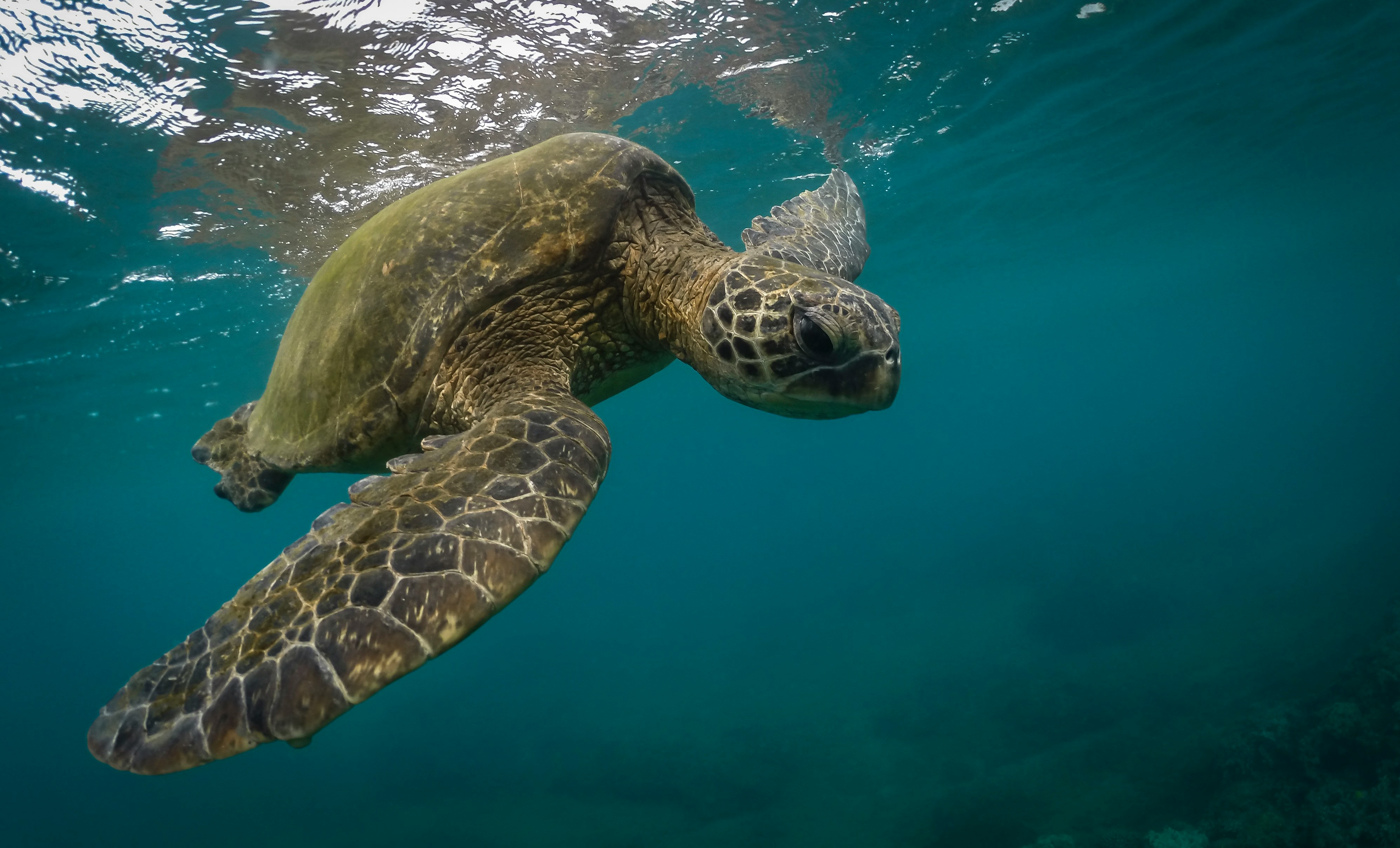
Maluaka combines a beautiful beach with reef access along the broader Turtle Town zone. Honu are common but never guaranteed, and the day is still worthwhile if none appears.
Parking is available, but expect a walk depending on which end you use. There is no lifeguard. The southern end has one of our favorite shady grassy areas overlooking a South Maui beach.
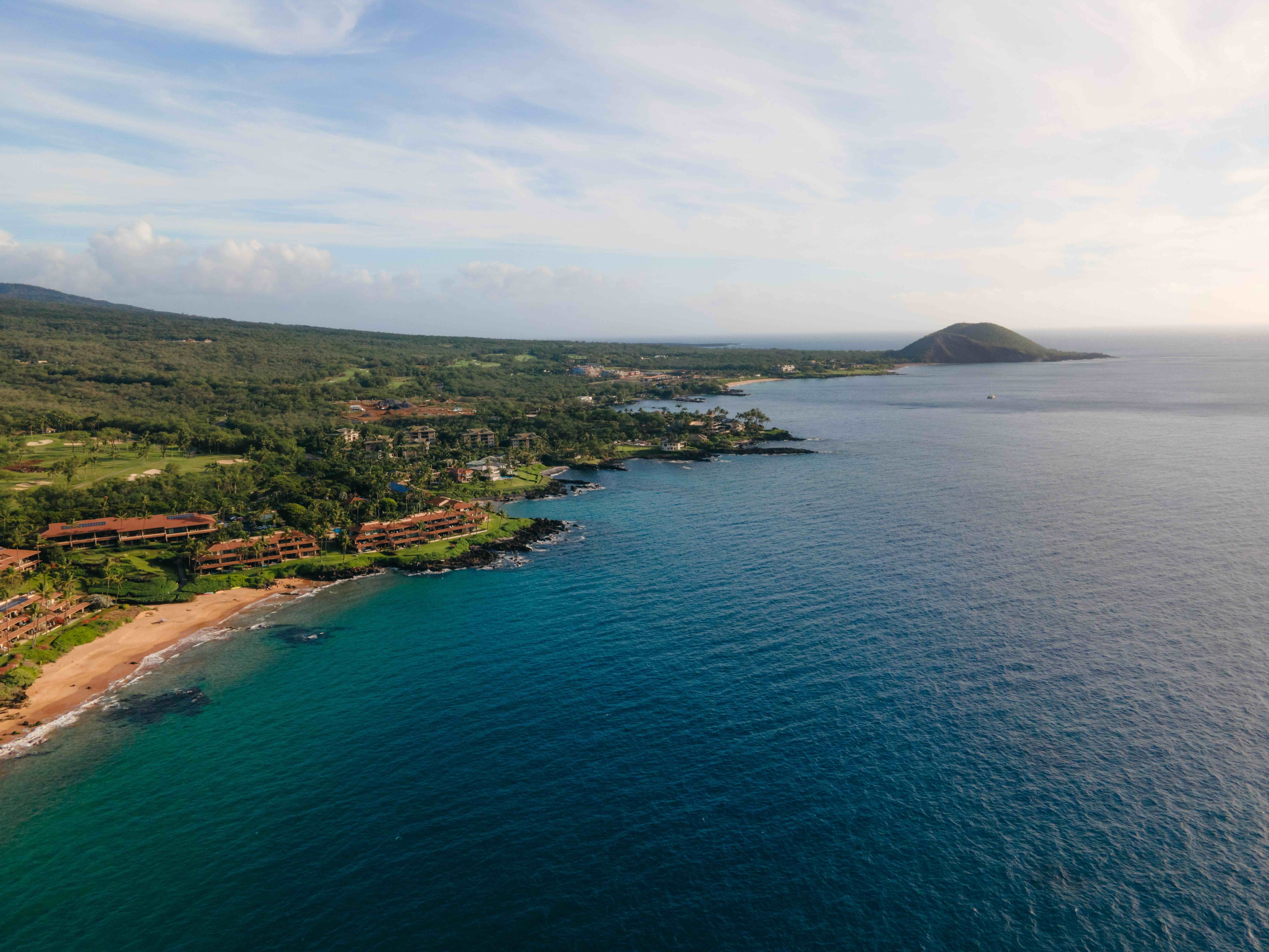
Turtle Town, Mākena. Photo: Hawaii Tourism Authority (HTA)
Mākena Landing
Our favorite launch for a kayak-and-snorkel morning along Turtle Town.
The protected bay gives you a natural starting point for exploring more of the reefed coastline. It also has a shaded grassy area overlooking the water with parking close by — a great setup for anyone who wants the view without a full sand day.
Big Beach
The visual knockout — and the beach where the shorebreak decides whether swimming is even part of the plan.
- Best for — scale, sand + scenery
- Best surf-watching / bodyboard zone — third entrance when it is breaking
- Skip the swim when — the shorebreak looks powerful or south swell is running
The first two entrances use the main public parking areas and have portable toilets. The third entrance is closer to the beach but generally means roadside parking.
Big Beach can produce powerful shorebreak that changes quickly. If you are in doubt, do not go out. The waves here have caused serious injuries, and watching from the sand is still a worthwhile stop.
The third entrance is also home to one of the stronger bodyboard breaks on the island when conditions line up, making it a good place to watch experienced riders rather than feeling like you need to join them.
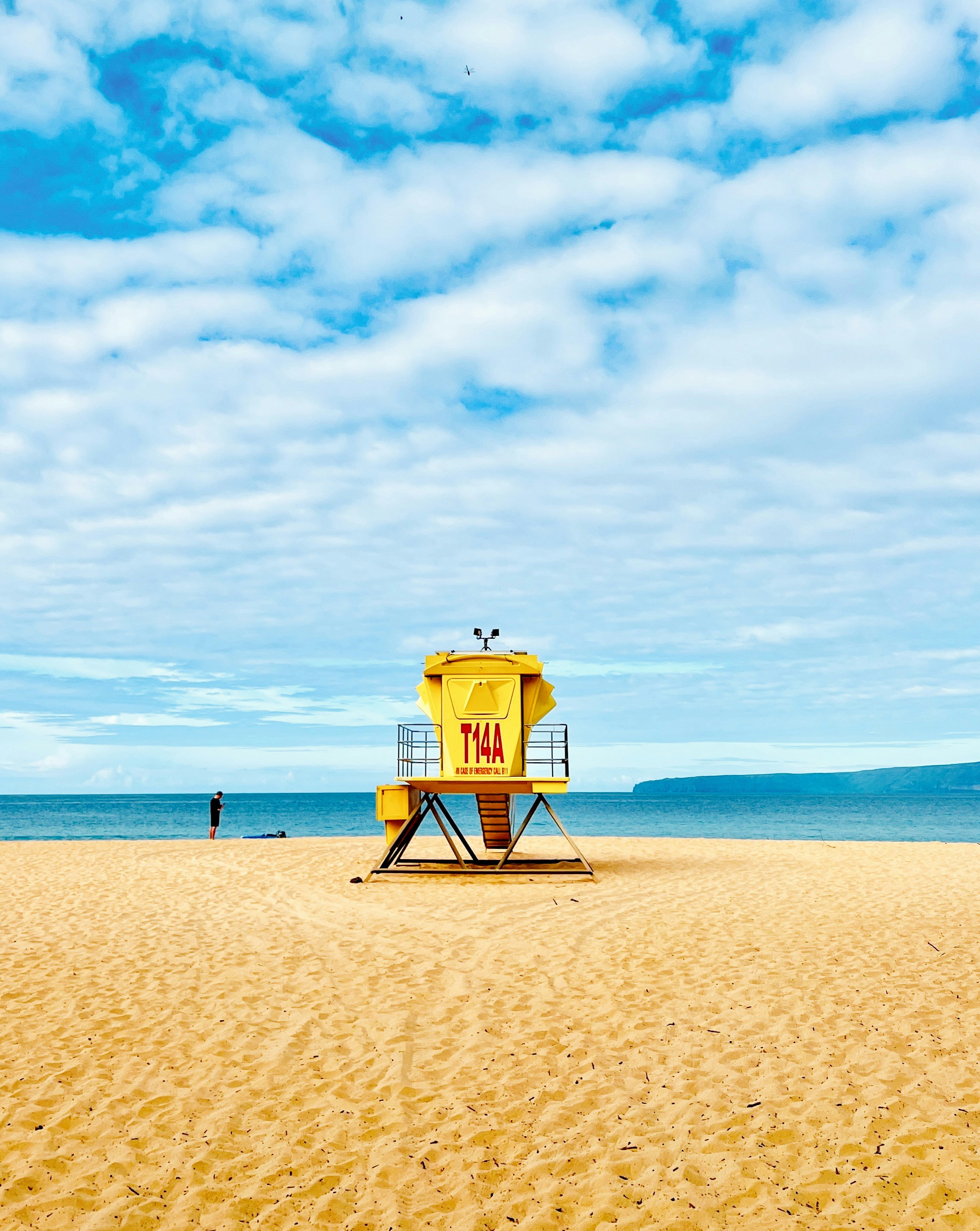
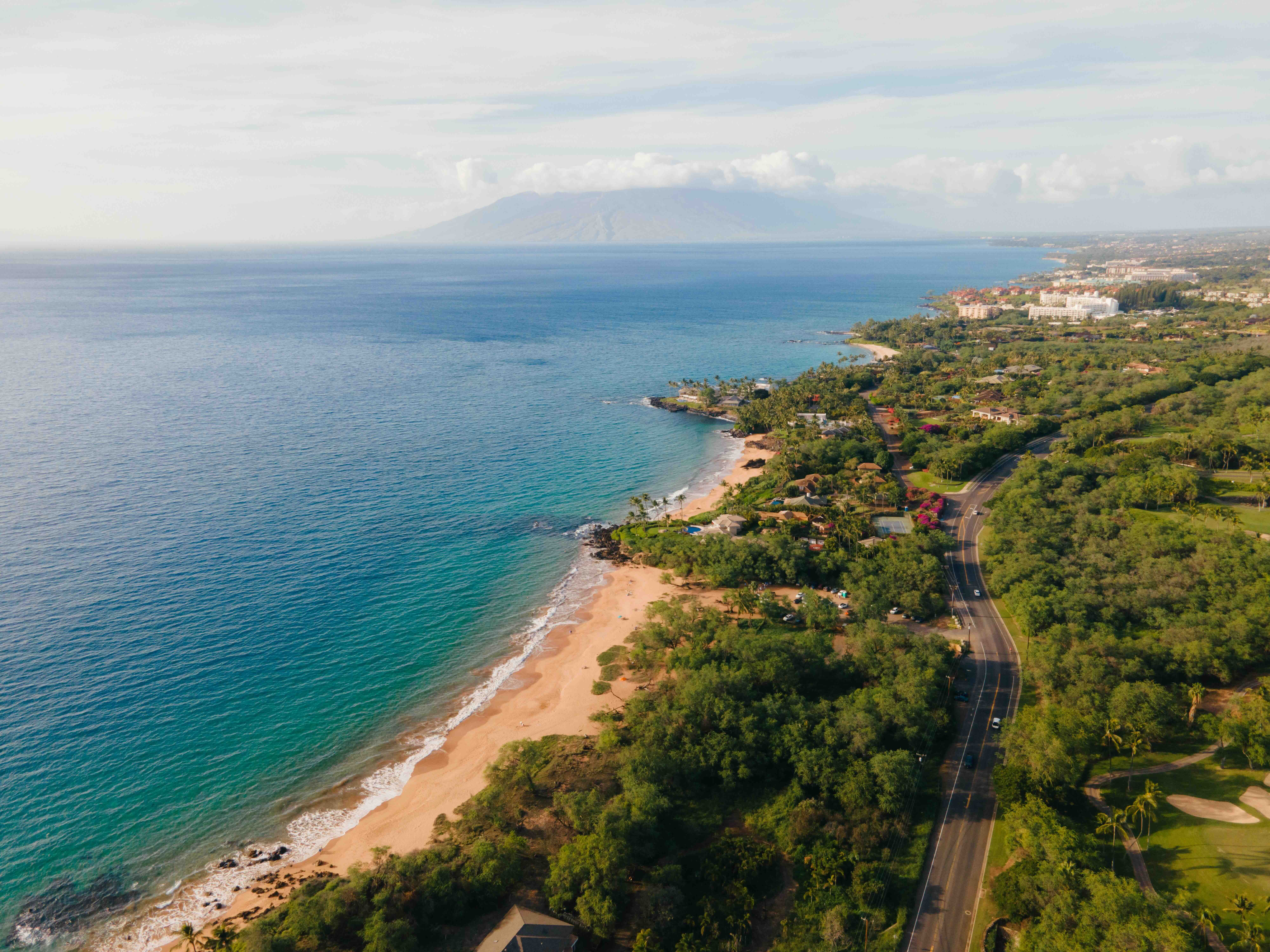
Big Beach, Mākena. Photo: Hawaii Tourism Authority (HTA)
The North-End Overlook
One of the most dramatic Big Beach views — but not a casual walk for young kids.
At the north end, confident walkers can scramble up the rocks for a broad overlook across Big Beach. Go early before the area gets crowded and only continue if footing and ocean conditions feel comfortable.
From the overlook you can look north toward the small cove commonly called Secret Beach. It is also known as a clothing-optional / nude beach, so there is little reason to continue there unless that is specifically where you intend to go.
ʻĀhihi-Kīnaʻu
A protected Natural Area Reserve — not a secret roadside beach.
- Best for — confident snorkelers who have read the rules
- Best beginner alternative — Ulua + Mōkapu back in Wailea
- Before you go — verify current access, hours + parking
The reserve protects a lava-dominated coastal and marine ecosystem. Use only designated access and parking, obey posted rules and treat any closed or unmarked area as closed.
Because current hours and parking details were not confirmed in our field notes, check the posted information before driving south rather than relying on an old fee or schedule.
Go because the reserve itself matters, not because you are hunting a “secret” snorkel spot.
Hoapili Trail
South Maui’s real hike: low elevation, rough lava, full sun.
- Best turnaround for most visitors — Hānamanioa Lighthouse
- Distance to lighthouse — about 1.5 miles each way
- Best conditions — early morning or a cloudy day
- Best footwear — closed-toe shoes
The route begins at La Pérouse Bay and follows portions of the old King’s Trail across rough lava. The lighthouse turnaround gives most visitors the scenery and history without committing to the longer exposed route.
The mileage looks easy on paper, but the lava and heat make it considerably harder than a flat walk. Carry more water than you think you need, use sun protection and stay off archaeological rock structures.
A Few Mākena Rules That Make the Day Better
The farther south you go, the fewer services you have — and the more conditions matter.
- Stock up before you go. Food, restrooms and services thin quickly south of Wailea.
- Use Mākena Landing or Maluaka when Turtle Town is the goal. Do not chase an exact “Turtle Town” pin.
- Treat Big Beach shorebreak seriously. If you are in doubt, do not go out.
- Verify ʻĀhihi-Kīnaʻu access before driving there. Rules and parking matter.
- Go early for Hoapili. The lava is exposed and there is essentially no useful shade.
- Give honu at least 10 feet of space. Never touch, chase or feed them.
Explore Wailea When You Want Convenience
Mākena is the natural coast; Wailea is where you go when you want the services back.
Wailea is only a short drive north for shopping, spas, golf, resort beaches and dinner. That contrast is part of why Mākena works: spend the morning somewhere wild, then return to easy logistics when you are ready.
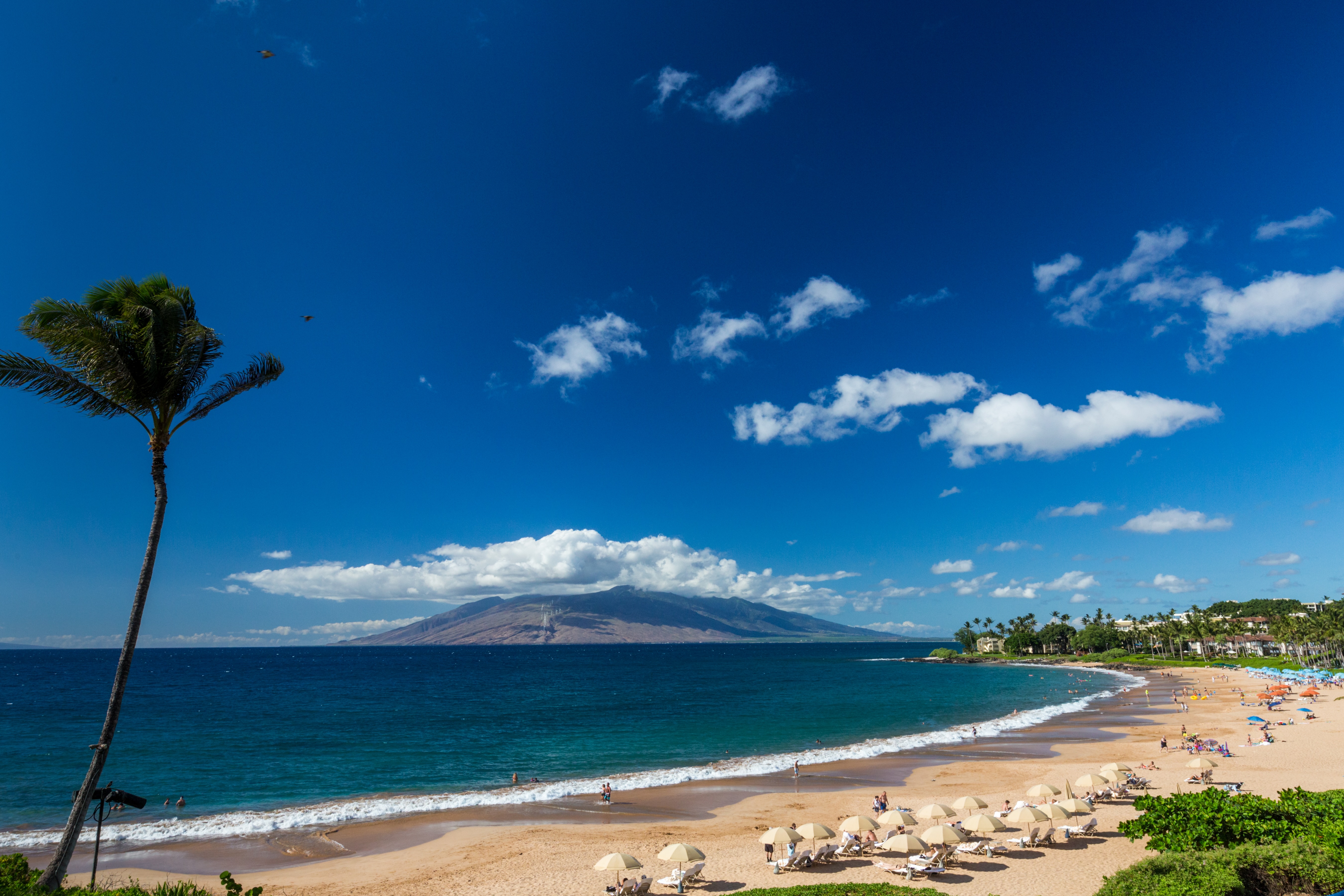
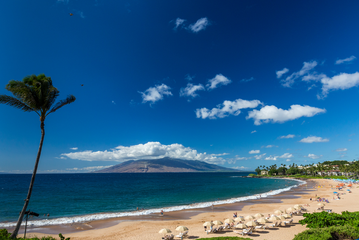
Wailea Beach, Wailea. Photo: Hawaii Tourism Authority (HTA)
One Last Tip
The mistake in Mākena is trying to collect it all.
Maluaka or Mākena Landing in the morning, Big Beach for the look of it, then either ʻĀhihi-Kīnaʻu or the lighthouse walk — not both, and not all four.
Mākena is the part of South Maui where doing less usually creates the better day.
Frequently Asked Questions
Where should I start a Mākena morning?
Maluaka. It combines a beautiful beach with reef access along the broader Turtle Town zone, so the day is still worthwhile if no honu appears. Parking is available, but expect a walk depending on which end you use, and there is no lifeguard.
Which Big Beach entrance should I use?
The first two entrances use the main public parking areas and have portable toilets. The third is closer to the beach but generally means roadside parking. The third entrance is also home to one of the stronger bodyboard breaks on the island when conditions line up, which makes it a good place to watch experienced riders.
Is it safe to swim at Big Beach?
It depends entirely on the shorebreak, which can be powerful and change quickly. If you are in doubt, do not go out — the waves here have caused serious injuries, and watching from the sand is still a worthwhile stop. Skip the swim when the shorebreak looks powerful or south swell is running.
Can I snorkel ʻĀhihi-Kīnaʻu?
It is a protected Natural Area Reserve, not a secret roadside beach, and it suits confident snorkelers who have read the rules. Use only designated access and parking, obey posted rules and treat any closed or unmarked area as closed. Check the posted information before driving south rather than relying on an old fee or schedule; Ulua and Mōkapu back in Wailea are the beginner alternative.
How far is the Hoapili Trail to the lighthouse?
About 1.5 miles each way. The route begins at La Pérouse Bay and follows portions of the old King's Trail across rough lava, and the Hānamanioa Lighthouse turnaround gives most visitors the scenery and history without committing to the longer exposed route. The mileage looks easy on paper, but the lava and heat make it considerably harder than a flat walk.
What is Secret Beach, and should I walk to it?
From the overlook at the north end of Big Beach you can look north toward the small cove commonly called Secret Beach. It is also known as a clothing-optional beach, so there is little reason to continue there unless that is specifically where you intend to go.