Best Hikes & Scenic Spots in Upcountry Maui

At a Glance
Most popular on Maui
 Central Maui
Maui Snorkeling Adventure to Molokini and Turtle Town
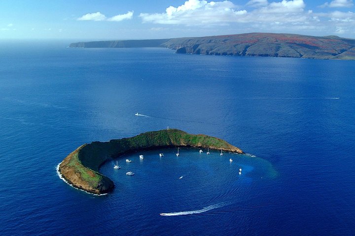
Visit Maui's famous snorkeling and diving destinations Molokini Crater and Turtle Town on a snorkeling catamaran, with visibility of 100 feet or more.
 South Maui
Feast at Mokapu Luau in Wailea
Discover Hawai'i's most authentic luxury luau at Andaz Maui at Wailea Resort — a curated cultural evening with a three-course plated dinner on Mokapu beach.
 South Maui
Gilligans' Island Luau in Kihei
An intimate luau experience and the only luau in Kihei — less than a quarter the size of the average Maui luau, so every seat has a great view of the show.
 Road to Hāna
Small-Group Road to Hana Adventure Tour with Pickup & Lunch
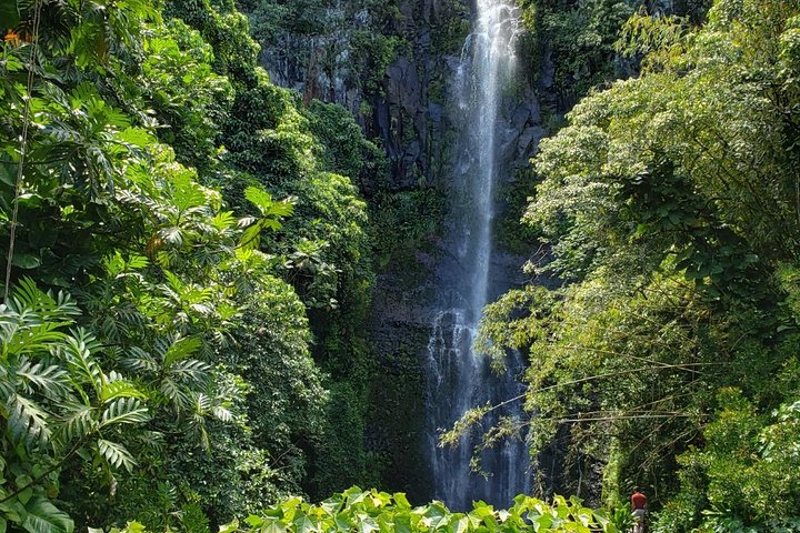
Watch the waterfalls, black-sand beaches and rainforest go by without anyone in your group behind the wheel.
 Upcountry
Majestic Haleakalā Sunrise Tour with Pick-up
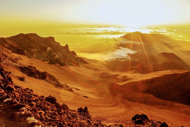
Ride to the summit for sunrise above the clouds, then unwind over a hot breakfast on the way back down.
 West Maui
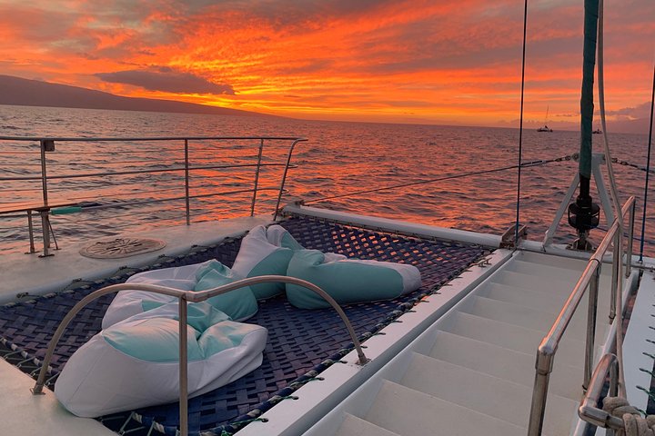
Original Sunset Cruise with Open Bar from Kaʻanapali
Sip an unlimited open bar while the sun drops behind Lānaʻi, with pupus and live music twice a week.
 Central Maui
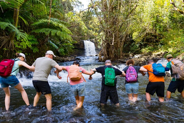
Small Group Waterfall and Rainforest Hiking Adventure
A guided rainforest hike to East Maui waterfalls, with time to swim beneath the falls and a trail lunch included.
 South Maui
Two Hour Beginner Group Surf Lesson in Kihei
A two-hour beginner lesson in calm South Maui water — board, gear and instruction all included.
 Upcountry
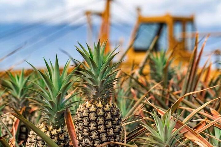
Maui Pineapple Farm Tour in Haliimaile
Tour a working pineapple farm and packing house upcountry, with tastings and a fresh pineapple to take home.
Makawao Forest Reserve
If you want a real Upcountry trail without summit altitude, start here.
- Best hiking loop — Kahakapao Loop
- Best for mountain biking — Makawao Forest trail system
- Best feature — shade + cool forest
Where: above Makawao.
Kahakapao Loop
A roughly 6-mile forest loop that feels more Pacific Northwest than postcard Maui.
The trail rolls through dense forest with moderate climbing and little in the way of big viewpoints. That is the appeal: shade, dirt, trees and a completely different side of the island.
The area is also one of Maui’s most established mountain-bike zones. Hikers should stay on the shared hiking route and pay attention to trail markings because several nearby trails are bike-specific.
Waihou Spring Trail
A short forest outing when you want an hour outside, not a half-day hike.
- Distance — about 1 mile
- Best for — an easy-to-moderate shaded walk
- Payoff — forest + gulch, not a panoramic view
Where: Olinda, above Makawao.
The trail follows an old forest road through planted trees and descends toward the gulch. It is popular because access is simple and the setting is cool and quiet.
The trail is a little anticlimactic if you arrive expecting a dramatic overlook or waterfall. Come because you want a short forest walk and you will like it much more.
Thompson Road
One of our favorite Upcountry walks because it barely feels like an attraction.
- Best for — morning or sunset stroll
- Difficulty — easy
- Pair with — Grandma’s Coffee House
Where: near Keokea.
Park responsibly along the road, walk as far as you feel like walking and turn around. The pleasure is the quiet country road, pasture and long views rather than a destination at the end.
Grandma’s Coffee House nearby makes this an easy breakfast-and-walk combination.
Waipoli Road + Polipoli
This is the adventurous side of Kula: pasture first, then high-elevation forest.
- Best panoramic drive — Waipoli Road below the forest
- Best forest trails — Polipoli / Redwood loop system
- Vehicle requirement — 4WD for Polipoli access
Where: above Aliʻi Kula Lavender.
Waipoli Road climbs through open ranch country with broad views across Central Maui and both coasts. There are several places where the view opens enough to justify the drive even if you never reach the forest.
In a standard car, turn around before the road becomes rough. The state specifically requires four-wheel drive for access to Polipoli Spring State Recreation Area.
Polipoli Spring State Recreation Area
Cool forest, redwoods and one of Maui’s most unusual hiking environments.
The state trail network includes the Polipoli, Redwood, Plum and Haleakalā Ridge trails. A commonly linked forest loop using several of them is about 3½ miles.
This is active hunting country as well as a hiking area. Wear bright clothing, check conditions and park alerts before going, and do not assume the road will be in the same condition as your last visit.
Haleakalā
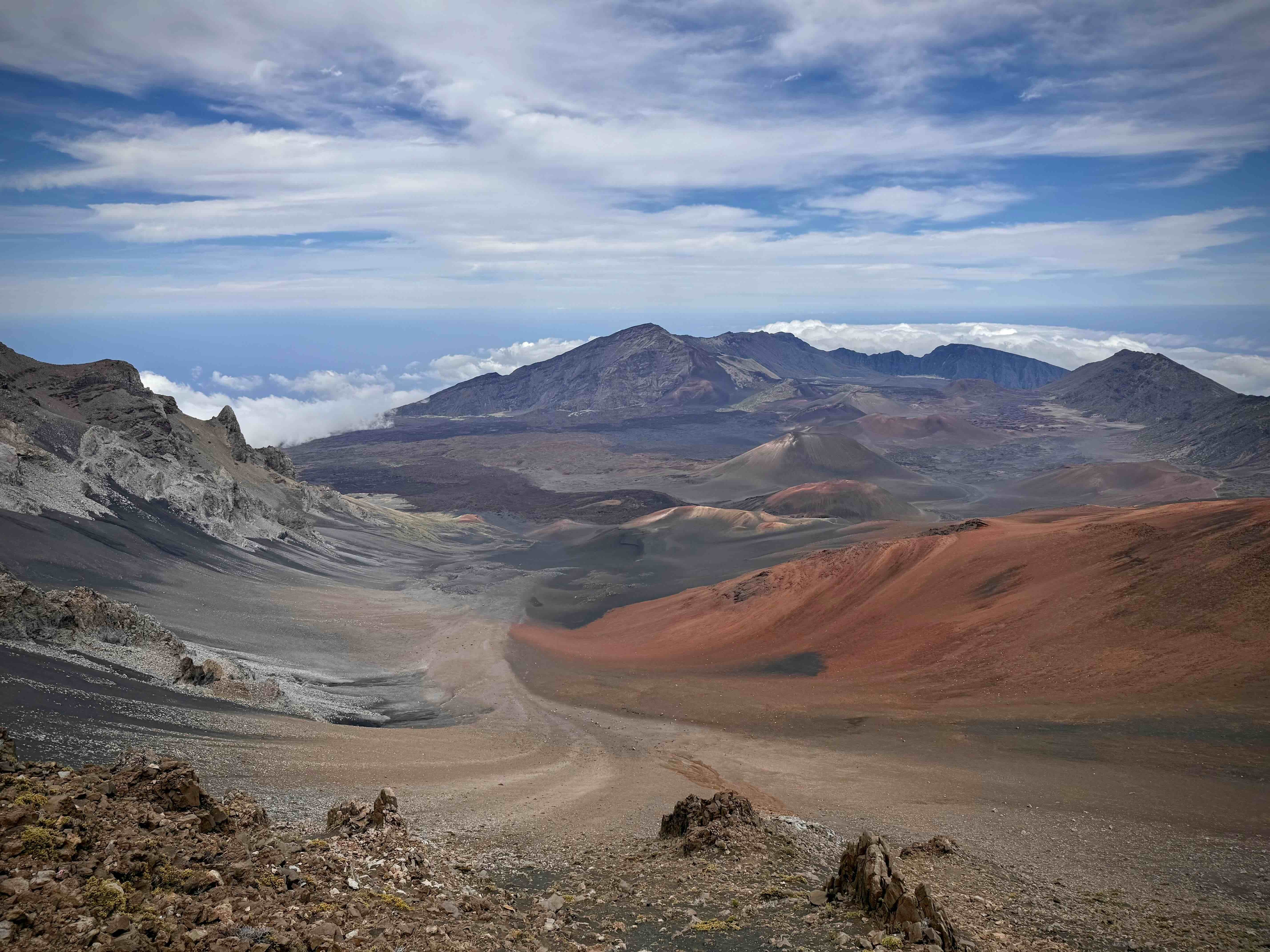
The summit is Upcountry’s biggest hiking experience, but you do not need a huge hike to feel it.
- Best no-hike payoff — summit overlooks
- Best crater hike — Keoneheʻeheʻe (Sliding Sands)
- Best advice — remember the return is uphill
Where: Haleakalā National Park.
The crater rim and summit viewpoints deliver the scale without requiring a full trail day. If you want to hike, even a short descent on Sliding Sands changes the experience completely.
The full Keoneheʻeheʻe-to-Halemauʻu route is about 11.2 miles and is not a loop. It is extremely strenuous, and the downhill beginning hides the real work: the return and exit happen at altitude.
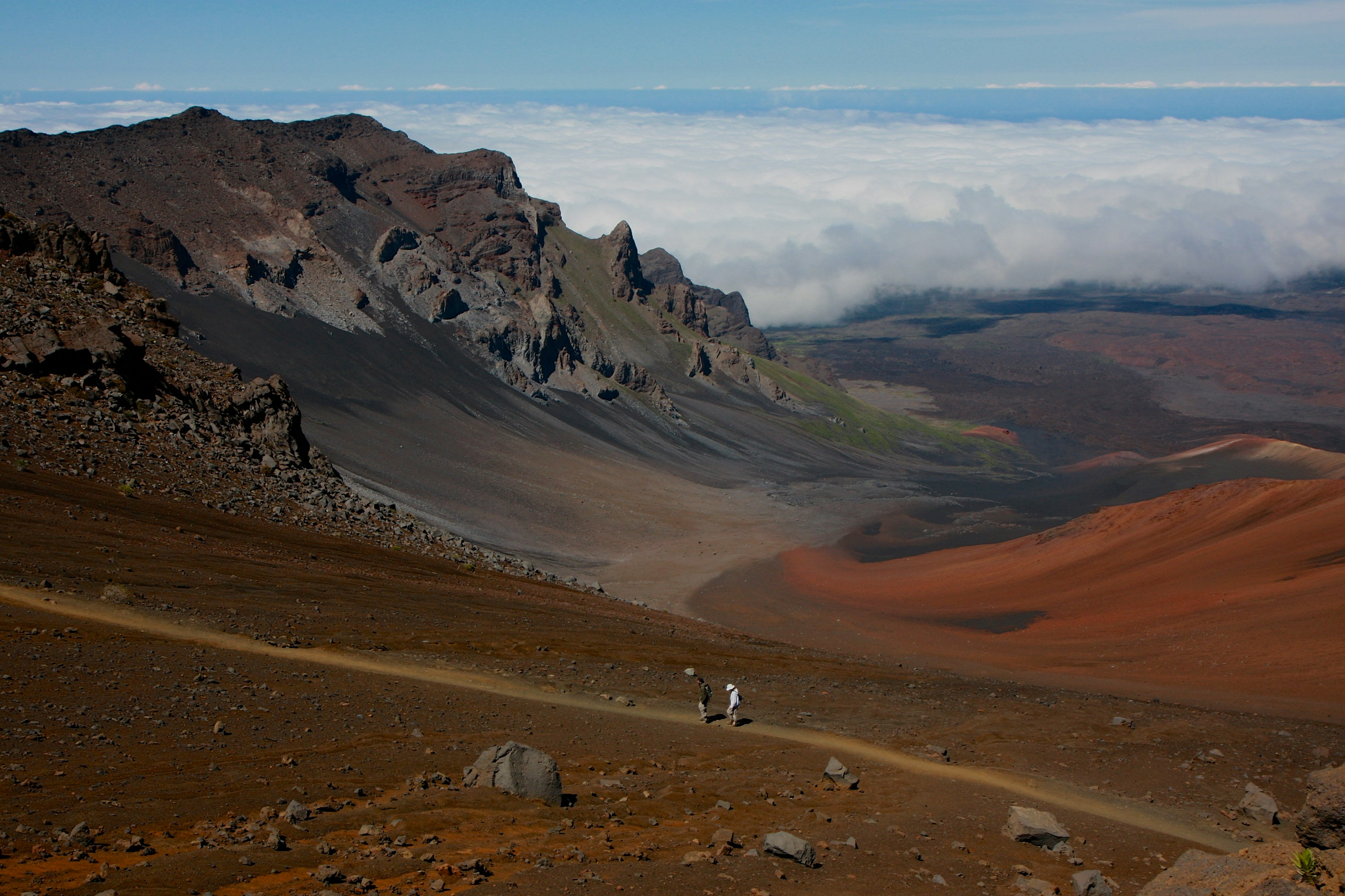
Haleakalā. Photo: Hawaii Tourism Authority (HTA)
Use our dedicated Haleakalā hiking guide for the full route, reservation details and summit planning.
The Kula-to-Ulupalakua Drive
Scenic driving counts as an outdoor experience up here.
- Best for — mixed groups + non-hikers
- Best stops — Keokea, Thompson Road, ranch country + Ulupalakua
Where: Kula Highway south toward Ulupalakua.
The road moves from greener Kula into drier ranch country with long views across the island. It is the right choice when the summit is in cloud or when half the group wants scenery without hiking.
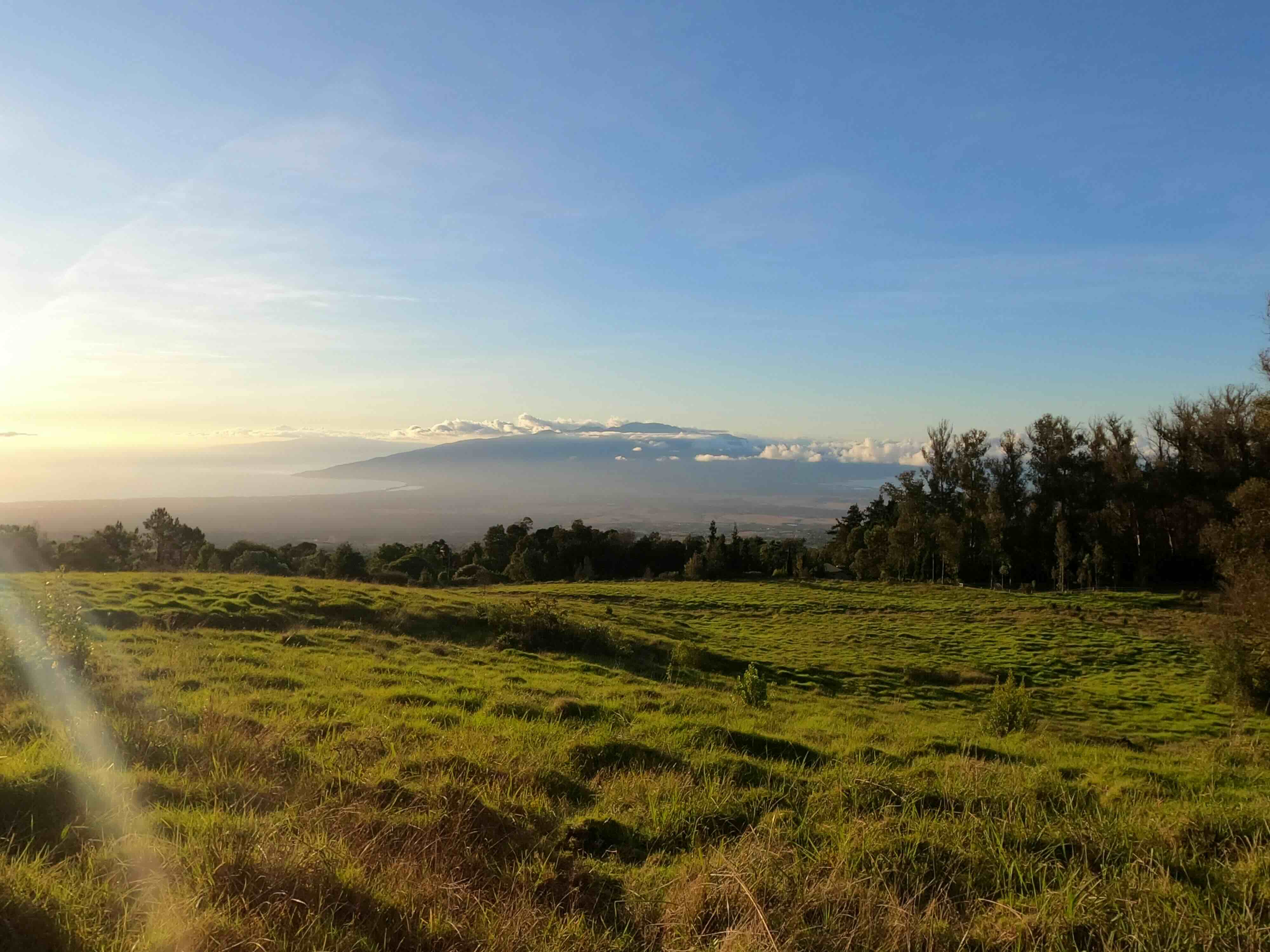
Open pasture, Upcountry
Stop for coffee in Keokea, walk a little, then continue to the Ranch Store or MauiWine rather than searching for a single “viewpoint” to justify the drive.
Read the Mountain
Upcountry conditions can change the correct plan in an hour.
- Summit buried in cloud — stay lower: Makawao Forest, Kula or Thompson Road
- Forest muddy after heavy rain — use town, farms or the scenic drive instead
- Clear summit + strong group — hike below the rim, but set a turnaround time
- Standard rental car — enjoy Waipoli Road, skip the 4WD access to Polipoli
Practical Tips
- Altitude can affect anyone. Fitness does not make you immune at the summit.
- Bring warm layers and sun protection. You can need both in the same hour.
- Check trail and park alerts before leaving. Fire, wind, rain and road work matter Upcountry.
- Wear bright clothing at Polipoli. Hunters may be in the area off trail.
- Expect mud in the forest. Makawao and Waihou can stay wet after the coast dries out.
- Do not underestimate the downhill start on Sliding Sands. The uphill is waiting for you later.
One Last Tip
You do not need a summit to have a great Upcountry outdoor day.
A forest loop, a country-road stroll or an hour driving Waipoli Road can be the better choice when weather, kids or energy say no to the mountain.
Let the conditions pick the outing, not the itinerary you wrote three weeks ago.
Frequently Asked Questions
What is the best real hike in Upcountry that is not the summit?
The Kahakapao Loop in Makawao Forest Reserve — a roughly 6-mile forest loop that feels more Pacific Northwest than postcard Maui. It rolls through dense forest with moderate climbing and little in the way of big viewpoints, which is exactly the appeal.
How long is Waihou Spring Trail?
About 1 mile, easy-to-moderate, following an old forest road through planted trees and descending toward the gulch. It is a little anticlimactic if you arrive expecting a dramatic overlook or waterfall — come for the short forest walk instead.
Do I need four-wheel drive for Polipoli?
Yes. The state specifically requires four-wheel drive for access to Polipoli Spring State Recreation Area. In a standard car, enjoy Waipoli Road below the forest and turn around before the road becomes rough.
How long is the full Sliding Sands route?
The full Keoneheʻeheʻe-to-Halemauʻu route is about 11.2 miles and is not a loop. It is extremely strenuous, and the downhill beginning hides the real work: the return and exit happen at altitude.
What should I do if the summit is buried in cloud?
Stay lower. Makawao Forest, Kula or Thompson Road all work, and the Kula-to-Ulupalakua drive is the right choice when half the group wants scenery without hiking.
What are the trails at Polipoli?
The state trail network includes the Polipoli, Redwood, Plum and Haleakalā Ridge trails, and a commonly linked forest loop using several of them is about 3½ miles. This is active hunting country as well as a hiking area, so wear bright clothing and check conditions and park alerts before going.