Waiheʻe Ridge Trail Guide

At a Glance
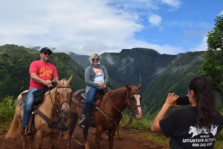
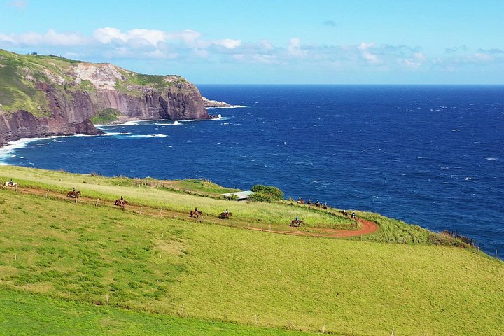
Our pick: West Maui Mountain Waterfall and Ocean Tour via Horseback
Best for first-timers and experienced riders who want West Maui mountain/ocean views with a small-group feel.
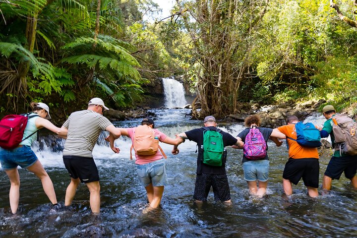
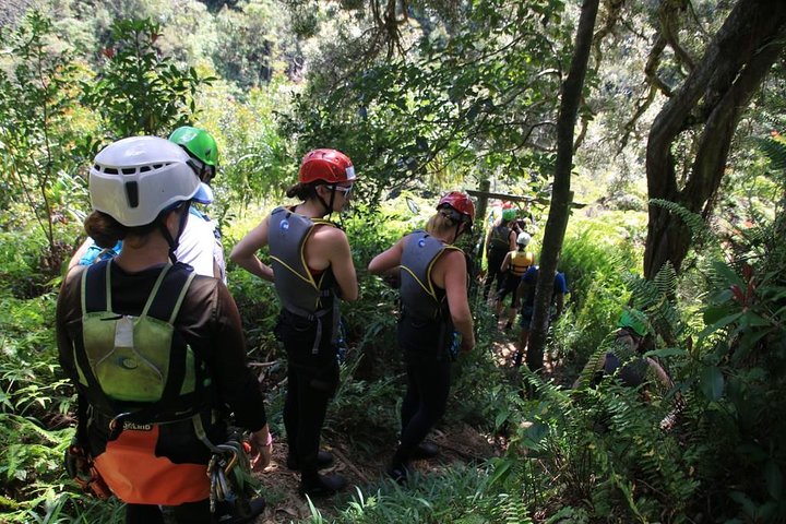
Our pick: Jungle Waterfall Adventure on Maui
Best for families with older kids, teens and active adults who want a private half-day adventure rather than a sightseeing tour.
Getting There
The access is easy once you know the turn — and the last road is steeper and narrower than it looks.
- Main road — Kahekili Highway north from Wailuku
- Turn — Maluhia Road
- Approach — About 0.9 mile uphill to the trail access
- Best arrival — Early enough that parking and cloud are both still manageable
Where: above Waiheʻe, on the windward side of the West Maui Mountains.
For a guided way into the West Maui Mountains, see the West Maui Mountain Waterfall and Ocean Tour via Horseback.
Trail access can change after storms or maintenance. Check the official Hawaiʻi Trails status the morning you go; do not rely on a saved itinerary or an older guide.
DLNR’s trail map directs hikers from Kahekili Highway up Maluhia Road, then through pasture before the trail enters forest. The access road is short but steep, and parking is limited enough that early matters.
If the legal trailhead parking is full, do not block the road, a gate or a neighbor. This is shared working land, not a resort trailhead.
The Climb
The trail starts hard, then gets prettier — pasture, forest and finally the exposed ridge.
- Surface — Pasture → wet forest → exposed ridge
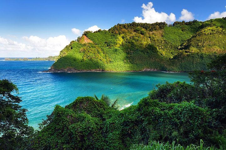
- Views — Waiheʻe Gorge, Makamakaʻole Gulch + Central Maui
- Water — Carry everything you need
The opening climb is the part that gets your attention. After the initial grade, the trail moves into cooler forest before emerging onto the ridge where the views become the whole reason to be here.
DLNR describes the trek to the top as 2.5 miles, climbing from about 1,000 feet to 2,563 feet. Because you return the way you came, plan on roughly 5 miles round trip and about 1,563 feet of climbing.
There is no drinking water along the route. Bring enough for the climb and the humid return.
Weather Decides Everything
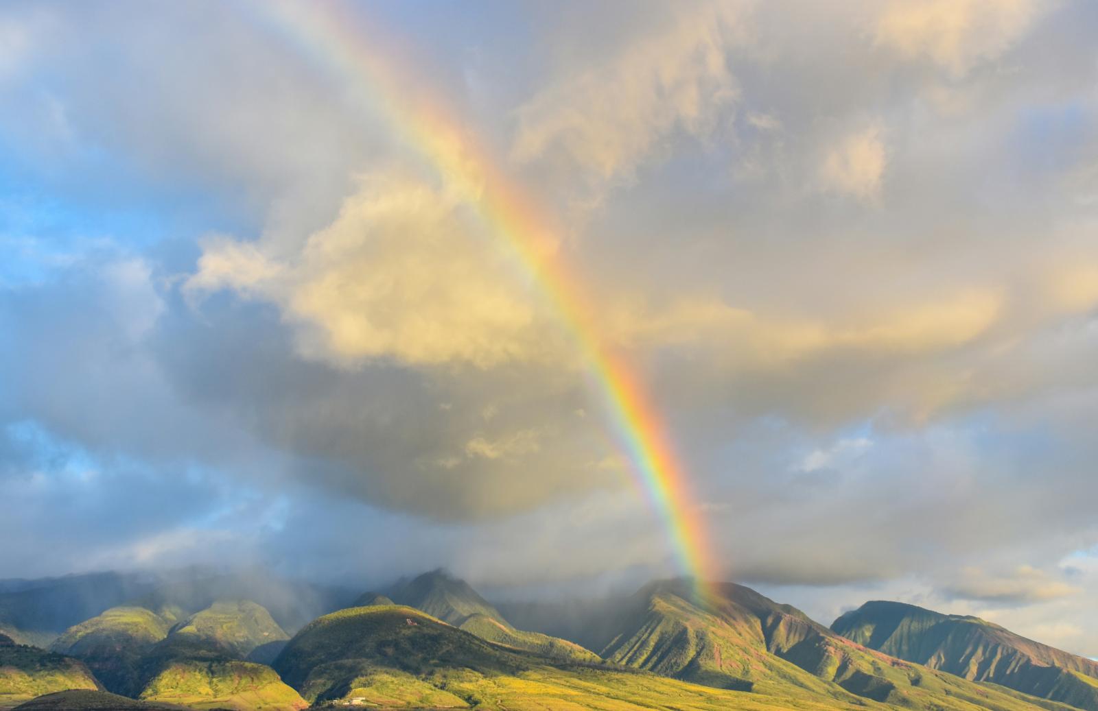
The view is the point, and this ridge can disappear inside cloud before breakfast is over.
- Best conditions — Clear, dry early morning
- Common problem — Ridge already in cloud
- Real hazard — Mud on steep sections after rain
This is the wet, windward side of the West Maui Mountains. Cloud, showers and wind can arrive fast, and trail conditions stay muddy after rain even when the sky has cleared.
If you can barely see the ridge from below, do not assume it will clear because you drove up. Save the hike for another morning and use ʻĪao, Wailuku or a local breakfast as the backup.
Waiheʻe + Waiehu After the Hike
The area around the trail is worth one more stop, but keep it local and simple.
ʻUlaʻUla Cafe at Waiheʻe Valley Plantation is one of our favorite post-hike stops: farm-to-table food on a working agricultural property known for macadamia production. It is a natural way to finish the morning without driving back into a resort area.
Waiehu Municipal Golf Course is the public golf option nearby and sits directly on the ocean. Waiheʻe and Waiehu beach parks are local coastal parks with a completely different feel from the resort beaches — good for a walk or a look at the coast, not our first visitor swim recommendation.
Do Not Continue Around West Maui
The narrow north-side road is not the clever shortcut it looks like on a map.
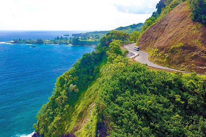
We do not recommend continuing around the West Maui Mountains toward Kahakuloa and Kapalua as a casual sightseeing loop after the hike. Sections of Kahekili Highway become steep, narrow and one lane, with limited room to pass.
If your next stop is West Maui, go back through Wailuku and use the normal highway. The extra-looking distance is the easier, safer drive.
Safety + Etiquette
This is a managed public trail through working and hunting land.
DLNR specifically advises hikers to stay on trail, wear bright clothing and be aware that hunters may be off trail nearby. Camping is not permitted.
Leave gates as you found them, park properly and remember that the trail’s popularity does not make the surrounding land public.
Practical Tips
- Go early. Cloud and parking both get worse later.
- Carry all your water. There is none on the trail.
- Wear shoes with real traction. Mud can linger for days after rain.
- Bring a light shell. The ridge is cooler, wetter and windier than Wailuku below.
- Wear something bright. Hunters may be active off trail.
- Have a backup. If the ridge is socked in, Wailuku and ʻĪao make a better morning than forcing a view that is not there.
One Last Tip
Look up before you drive up.
If the ridge is clear, go. If it is not, save the hike. Waiheʻe Ridge is one of Maui’s best mornings when the weather cooperates, and there is no reason to spend it inside a cloud just because it was on the itinerary.




Frequently Asked Questions
How long is the Waiheʻe Ridge Trail?
DLNR describes a 2.5-mile trek to the top. Because you return the way you came, plan on roughly 5 miles round trip.
How much elevation gain is there?
The Waiheʻe Ridge Trail gains about 1,563 feet, climbing from roughly 1,000 feet at the trailhead to a high point of 2,563 feet.
Is there water on the trail?
No, there is no drinking water on the Waiheʻe Ridge Trail. There is no drinking water along the route, so carry everything you need for the climb and the humid return.
How do I get to the trailhead?
Take Kahekili Highway north from Wailuku and turn onto Maluhia Road, then about 0.9 mile uphill to the trail access. The access road is short but steep, and parking is limited enough that early matters.